 Anvers Postal codes
Explore list of all Postal Codes in Anvers Province, Vlaanderen Region, Belgium or Retrieve Postal codes instantly with address lookup tool.
Explore Postal codes for each City in Anvers province, Vlaanderen Region, Belgium with our comprehensive directory. Whether you're a resident, a business owner, or a traveler, our curated list provides a detailed overview of the unique postal codes that define the diverse neighborhoods and regions of the Anvers province. Discover the intricacies of each Postal codes, from bustling urban centers to tranquil suburban enclaves. Our user-friendly guide aims to assist you in navigating and understanding the distinct regions encapsulated by Anvers Postal codes, offering valuable insights for residents and visitors alike.
To find a comprehensive list of Postal codes in Anvers, please refer to the table below or click on any location on the Interactive map to instantly find the postal code and address for your mail's destination:
List of Postal codes in Anvers
| City | Arrondissement | Postal codes | Details |
|---|---|---|---|
| Oostmalle | Antwerpen | 2390 | |
| Oppuurs | Mechelen | 2890 | |
| Oud-Turnhout | Turnhout | 2360 | |
| Poederlee | Turnhout | 2275 | |
| Poppel | Turnhout | 2382 | |
| Pulderbos | Antwerpen | 2242 | |
| Pulle | Antwerpen | 2243 | |
| Putte | Mechelen | 2580 | |
| Puurs | Mechelen | 2870 | |
| Puurs-Sint-Amands | Mechelen | 2870 | |
| Ramsel | Turnhout | 2230 | |
| Ranst | Antwerpen | 2520 | |
| Ravels | Turnhout | 2380 | |
| Reet | Antwerpen | 2840 | |
| Retie | Turnhout | 2470 | |
| Rijkevorsel | Turnhout | 2310 | |
| Rijmenam | Mechelen | 2820 | |
| Ruisbroek | Mechelen | 2870 | |
| Rumst | Antwerpen | 2840 | |
| Schelle | Antwerpen | 2627 | |
| Schilde | Antwerpen | 2970 | |
| Schoten | Antwerpen | 2900 | |
| Schriek | Mechelen | 2223 | |
| Sint-Amands | Mechelen | 2890 | |
| Sint-Job-In-'T-Goor | Antwerpen | 2960 | |
| Sint-Katelijne-Waver | Mechelen | 2860 | |
| Sint-Lenaarts | Antwerpen | 2960 | |
| Stabroek | Antwerpen | 2940 | |
| Terhagen | Antwerpen | 2840 | |
| Tielen | Turnhout | 2460 | |
| Tisselt | Mechelen | 2830 | |
| Tongerlo | Turnhout | 2260 | |
| Turnhout | Turnhout | 2300 | |
| Varendonk | Turnhout | 2431 | |
| Veerle | Turnhout | 2431 | |
| Viersel | Antwerpen | 2240 | |
| Vlimmeren | Turnhout | 2340 | |
| Vorselaar | Turnhout | 2290 | |
| Vorst | Turnhout | 2430 | |
| Vosselaar | Turnhout | 2350 | |
| Vremde | Antwerpen | 2531 | |
| Waarloos | Antwerpen | 2550 | |
| Walem | Mechelen | 2800 | |
| Wechelderzande | Turnhout | 2275 | |
| Weelde | Turnhout | 2381 | |
| Weert | Mechelen | 2880 | |
| Westerlo | Turnhout | 2260 | |
| Westmalle | Antwerpen | 2390 | |
| Westmeerbeek | Turnhout | 2235 | |
| Wiekevorst | Mechelen | 2222 | |
| Wijnegem | Antwerpen | 2110 | |
| Willebroek | Mechelen | 2830 | |
| Wilrijk | Antwerpen | 2610 | |
| Wommelgem | Antwerpen | 2160 | |
| Wortel | Turnhout | 2323 | |
| Wuustwezel | Antwerpen | 2990 | |
| Zandhoven | Antwerpen | 2240 | |
| Zandvliet | Antwerpen | 2040 | |
| Zoerle-Parwijs | Turnhout | 2260 | |
| Zoersel | Antwerpen | 2980 | |
| Zwijndrecht | Antwerpen | 2070 | |
| Page no. 2 of 2 | |||
Interactive Map of Anvers Postal codes
Interactive Postal code lookup Map: Simply click on any location on the map to instantly reveal its Postal code and address details. For a more immersive experience, engage Fullscreen mode to maximize your exploration capabilities and enable smooth navigation with scroll gestures.
Anvers postal codes, organized as four-digit identifiers, play integral roles within Belgium's mail delivery infrastructure. These codes adhere to a standardized format: the first digit signifies the region, while the subsequent three digits delineate the specific locality or area within the province. Ranging from 000 to 999, this systematic structure facilitates the precise sorting and routing of mail and parcels, thereby bolstering the efficiency of the Belgium Postal Service. Notably, certain exceptions exist within the code distribution: the 3xxx series is shared by the eastern part of Flemish Brabant and Limburg, the 6xxx series is shared between Hainaut and Luxembourg provinces, and the 1xxx series is shared by the Brussels Capital Region, the western part of Flemish Brabant, and Walloon Brabant. These delineations ensure accurate delivery while accommodating the nuanced geographic boundaries and administrative divisions within Belgium's postal network.
Helpful Resources
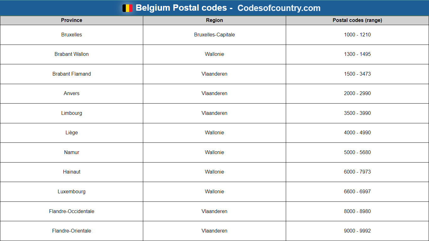
List of all Provinces and postal codes in Belgium
Discover Belgium Postal codes across Provinces and regions and Instantly retrieve Postal codes using interactive Postal code lookup Map, with Format and History information.
postal.codesofcountry.com
Anvers - Wikipedia
The Anvers Wikipedia Page provides a comprehensive overview of the Region, including its history, geography, culture, economy, and more. This page offers detailed information and is regularly updated to reflect the latest developments and insights about Anvers.
Wikipedia